
Decades of Experience in
Professional Land Surveying
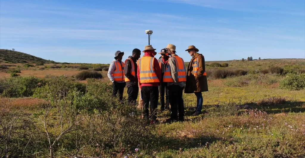
Decades of trusted land surveying expertise across South Africa, delivering precise results that keep your projects on track.

Our Mission
We pride ourselves in delivering value-added services that are the result of our project knowledge and hands-on methodology.

Our Goals
At Sure Surveys & Projects, our aim is to deliver tailored solutions that enhance businesses, regardless of size. Our Land Surveying tools are customized to meet clients’ and project requirements, ensuring consistent successful project completions.
Meet Our Team
Our team brings extensive industry experience, delivering expertise in cadastral survey, engineering survey, and cutting-edge surveying technologies.

Mandlenkosi Kelly Shongwe
Director
A highly qualified Geomatics Professional Land Surveyor with over 10 years of experience in various projects across South Africa, holding a BSc Geomatics & GIS (Honours Degree) from the University of Cape Town (UCT) and a National Diploma in Land Surveying Engineering from the Cape Peninsula University of Technology (CPUT). Has worked in both private and public sectors, including positions at the Surveyor General Office in Limpopo and Mpumalanga Province as well as Ehlanzeni District Municipality.
BSc Geomatics & GIS Diploma Land Surveying EngineeringOur Expertise
Professional Land Surveying Services
Sure Surveys & Projects is renowned for delivering the very best results through a range of different surveying techniques that we have perfected over time.
-
Base Mapping
Fundamental mapping services for various development projects.
-
Underground Services Detection
Location and mapping of underground utilities, cables and pipes.
-
Volumetric Surveys
Accurate volume calculations for mining, quarries and earthworks.
-
Spatial Data Management
Professional data processing, analysis and management services.
-
3D Laser Scanning
High-precision 3D data capture for complex structures and environments.
-
Topographic Survey
Detailed terrain mapping and contour surveys for design and planning.
-
GIS Services
Geographic Information Systems and spatial data analysis solutions.
-
Aerial Survey
Drone-based surveying and photogrammetric data collection and processing.
-
Construction Survey
Setting out, monitoring and as-built surveys for construction projects.
-
Cadastral Survey
Property boundary surveys, subdivisions, consolidations and township establishment.
-
Engineering Survey
Precise measurements and mapping for engineering projects and infrastructure development.